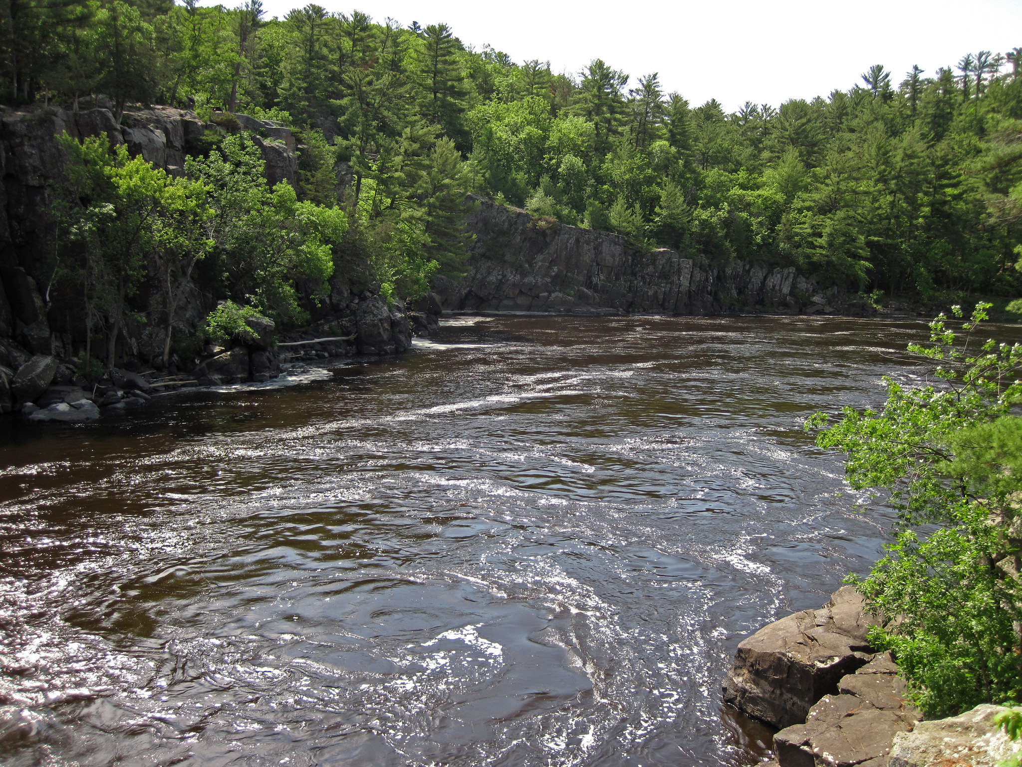
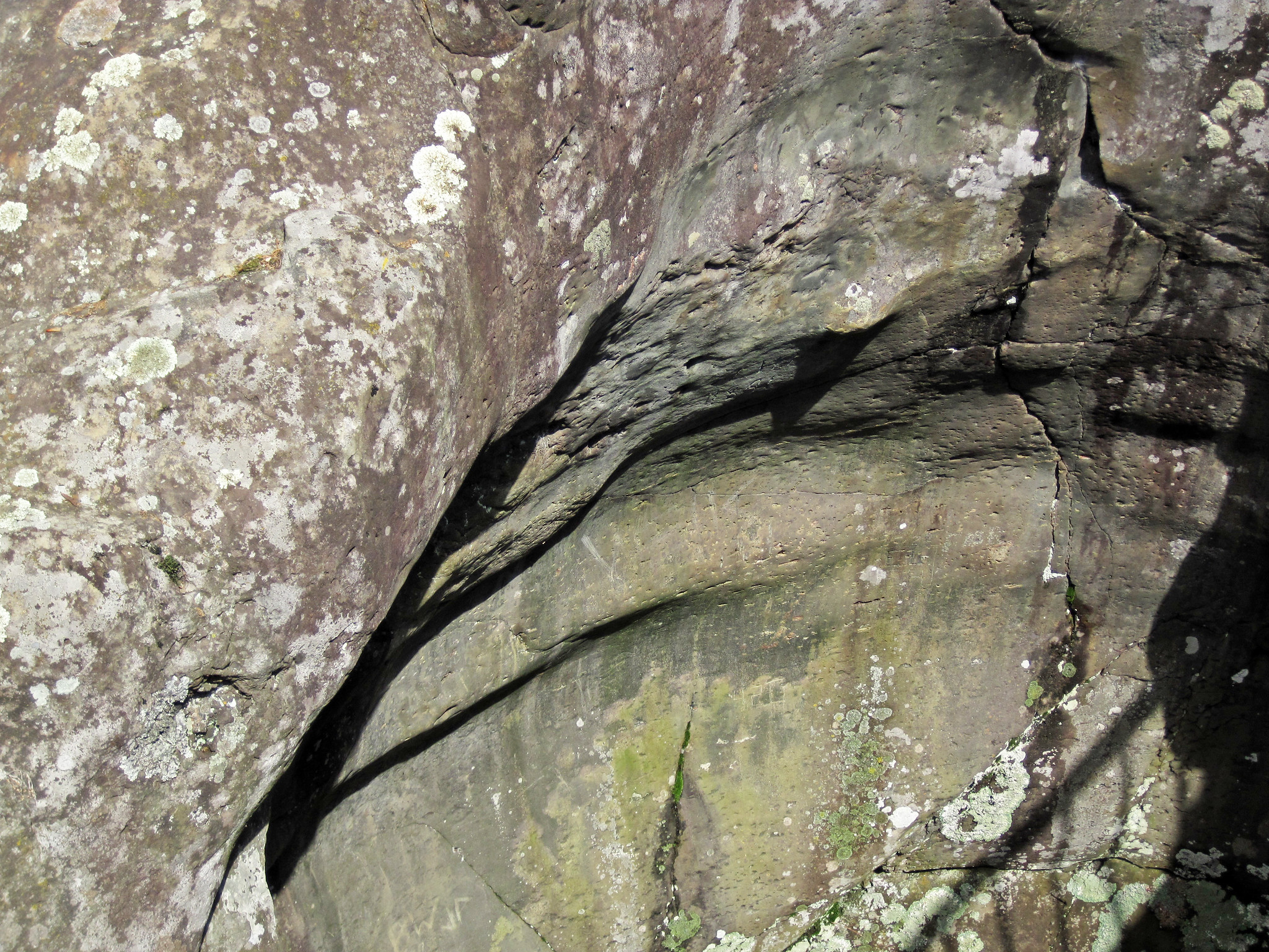
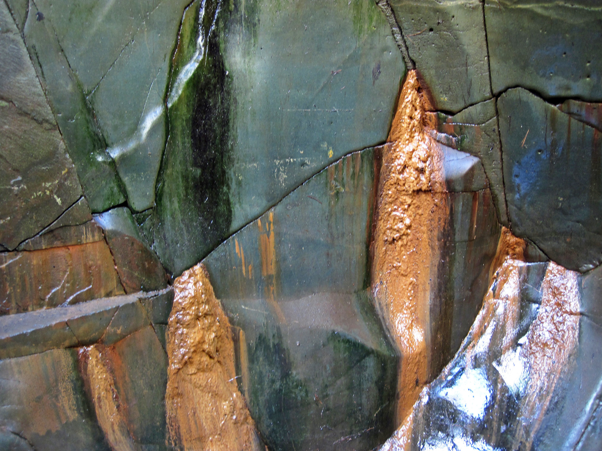
The outcrop shown above is a basalt lava flow in the Clam Falls Volcanics of eastern Minnesota. It is equivalent to & the same age as the North Shore Volcanic Series of northeastern Minnesota and the Portage Lake Volcanic Series of northern Michigan’s Keweenaw Peninsula. The Clam Falls, North Shore, and Portage Lake successions are ~1.1 billion years old and represent basalt lava flows, plus minor sedimentary rocks, that filled up an ancient rift valley.
This old rift is the Lake Superior segment of the Mid-Continent Rift System, a tear in the ancient North American paleocontinent of Laurentia (see: www.earth.northwestern.edu/people/seth/research/mcrfig1.jpg). Tectonic rifting started along this tear, exactly like the modern-day East African Rift Valley. Laurentia’s Mid-Continent Rift System started and then stopped and was subsequently filled and buried. This ancient failed rift is now exposed on either side of Lake Superior in North America’s Great Lakes.
The lava flow shown above consists of high-aluminum, high-iron tholeiitic basalts.
“A thick succesion of largely mafic volcanic rocks between the Pine Fault on the west and the Cottage Grove-Lake Owens Fault on the east in Wisconsin (Cannon and others, 2001). Outcrops near Taylors Falls consist of thick, coarse-grained, ophitic basalt flows with thick, fragmental flow tops, and thinner flows of fine-grained, intergranular basalt and porphyritic basalt. All the exposed flows contain abundant epidote and actinolite, which indicates that the flows were deeply buried (approximately 4.7 miles [7.5 kilometers]; Wirth and others, 1998) prior to uplift of the St. Croix Horst. Based on deep seismic profiles the thickness of the remaining volcanic rocks in the St. Croix Horst beneath the Clam Falls Volcanics is estimated to be approximately 5 miles (8 kilometers). The Clam Falls Volcanics underlie Paleozoic bedrock across a large expanse of southeastern Chisago County. They subcrop beneath unconsolidated Quaternary material in deep bedrock valleys, and are exposed as the uppermost bedrock in the Taylors Falls area.”
– Description of the Clam Falls Volcanics in Runkel & Boerboom (2010)
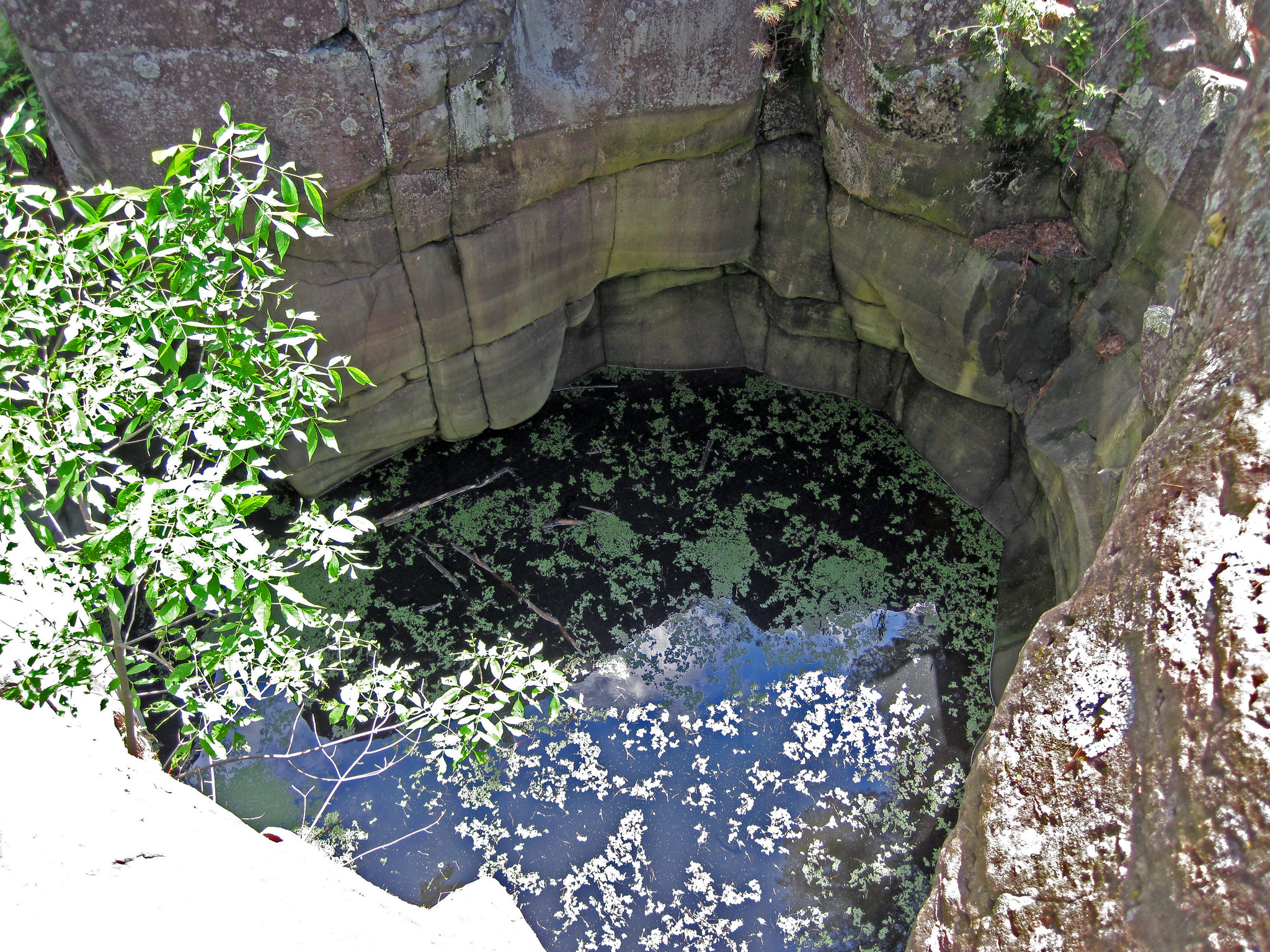
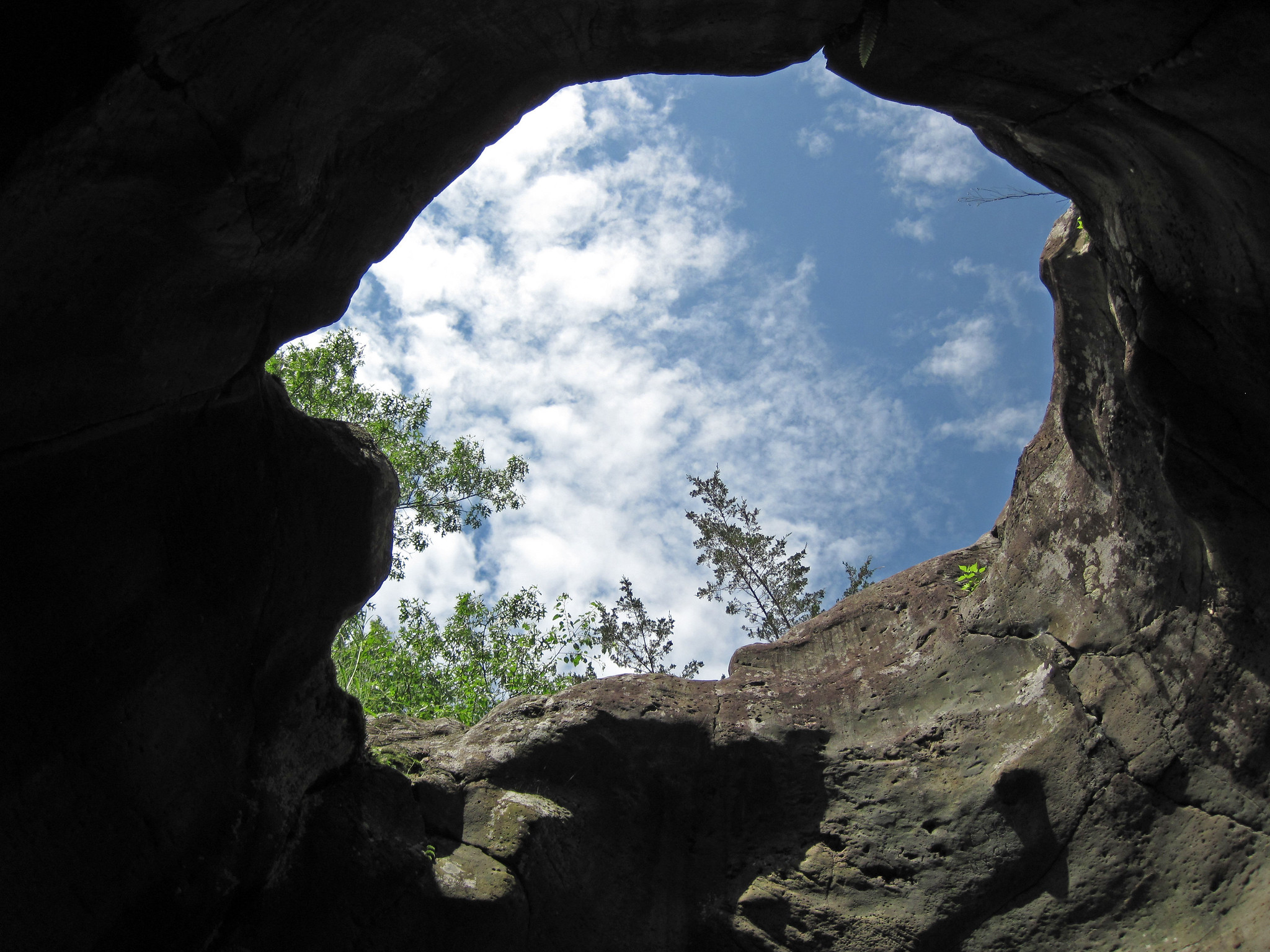
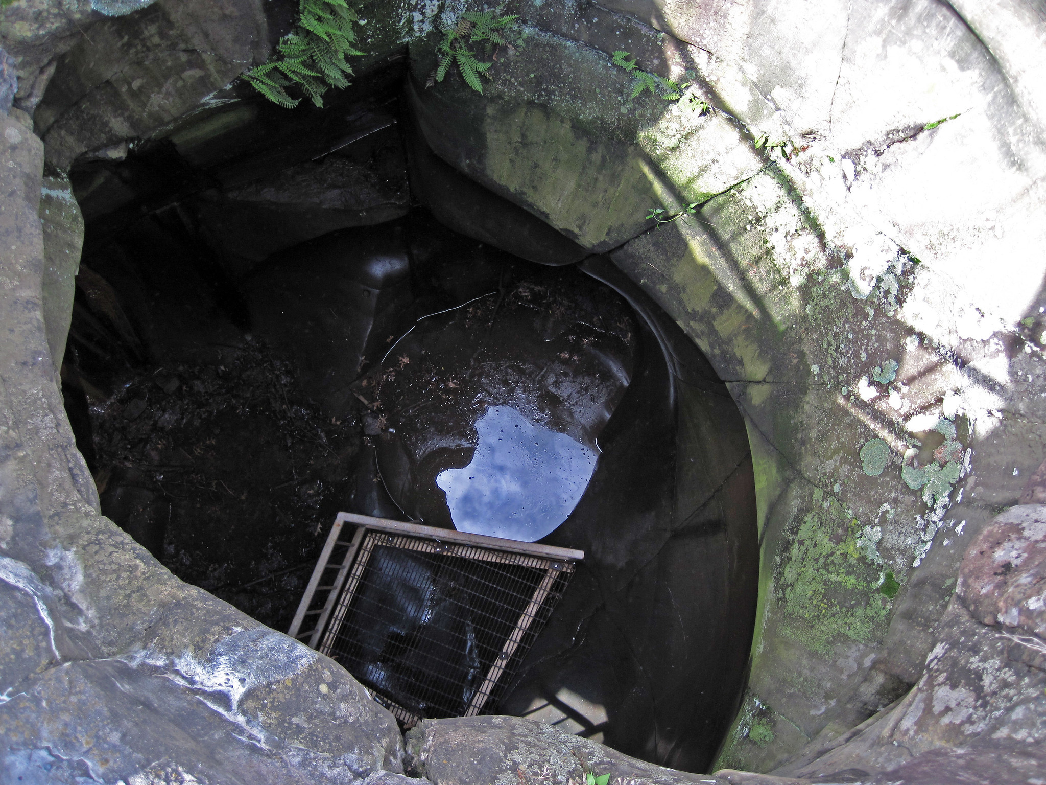
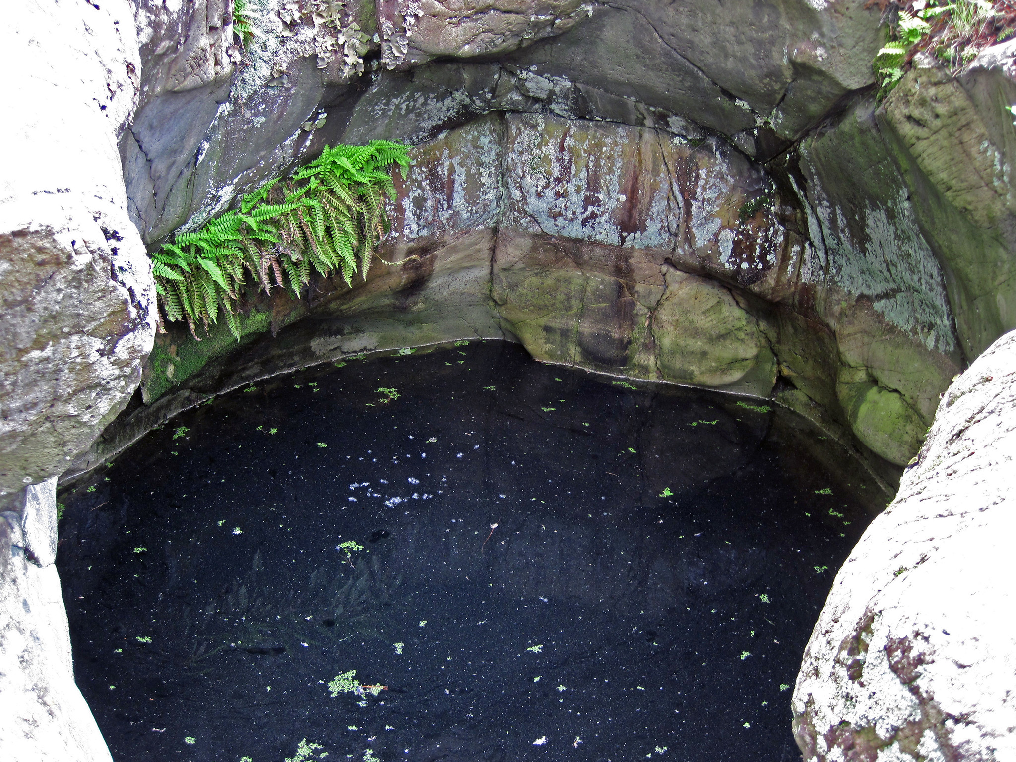
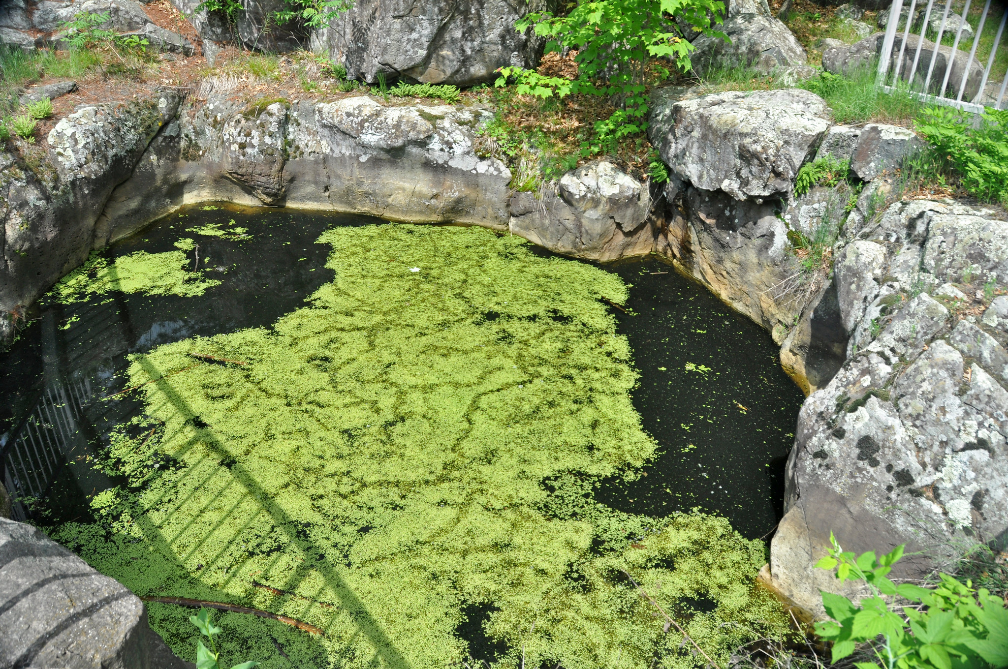
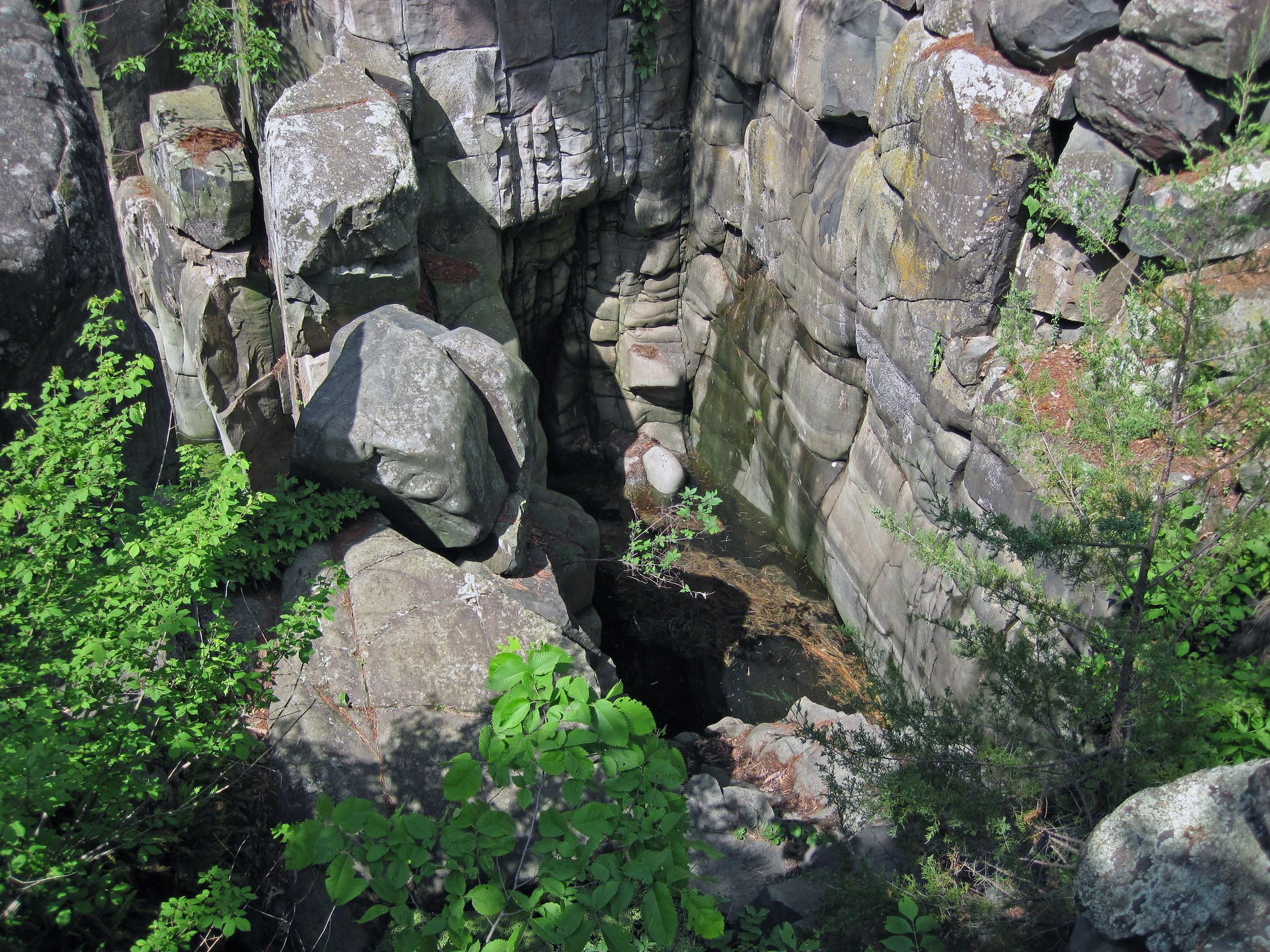
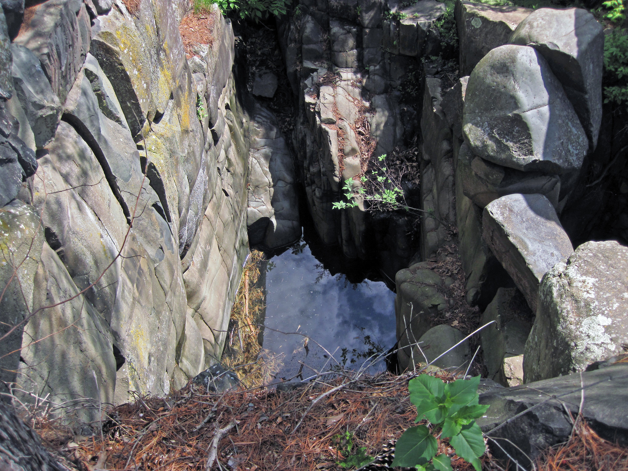
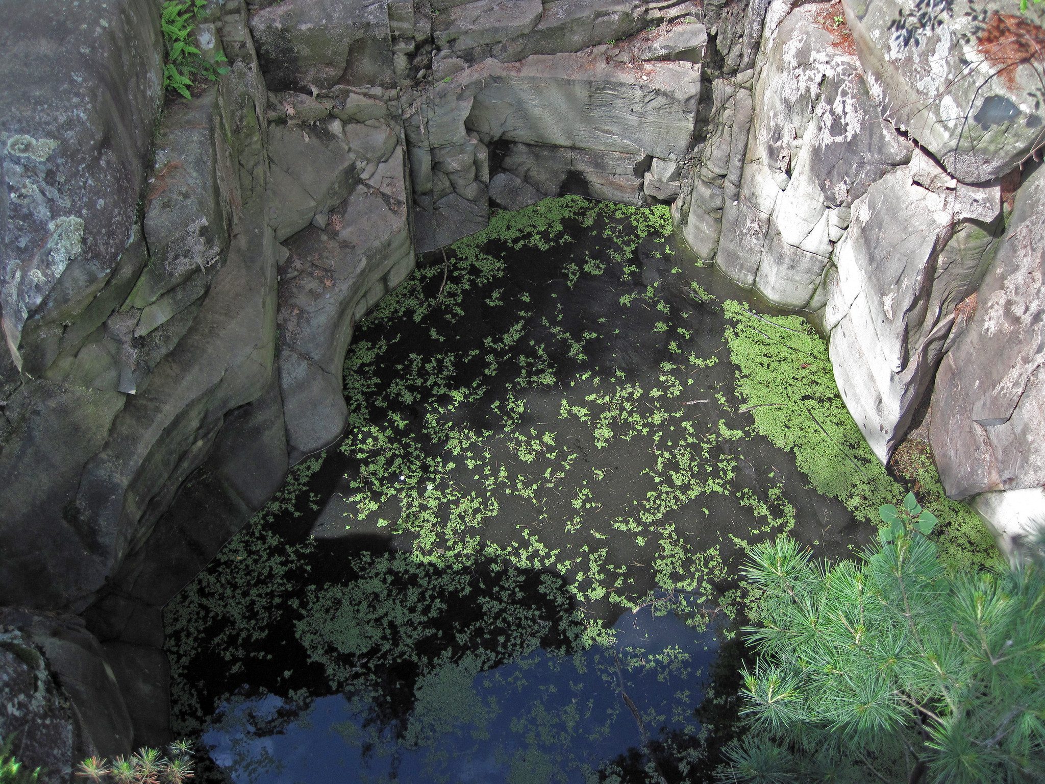
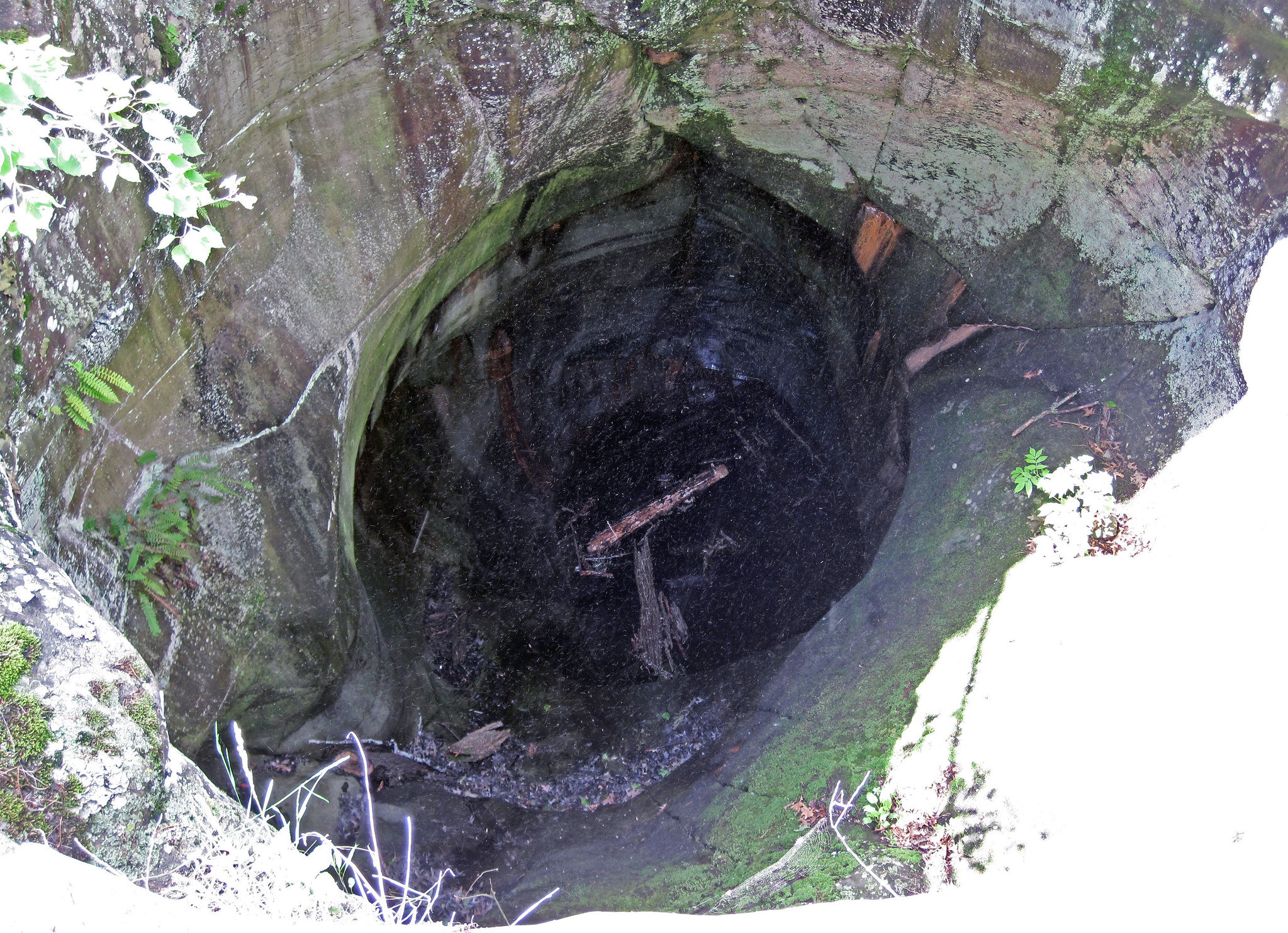
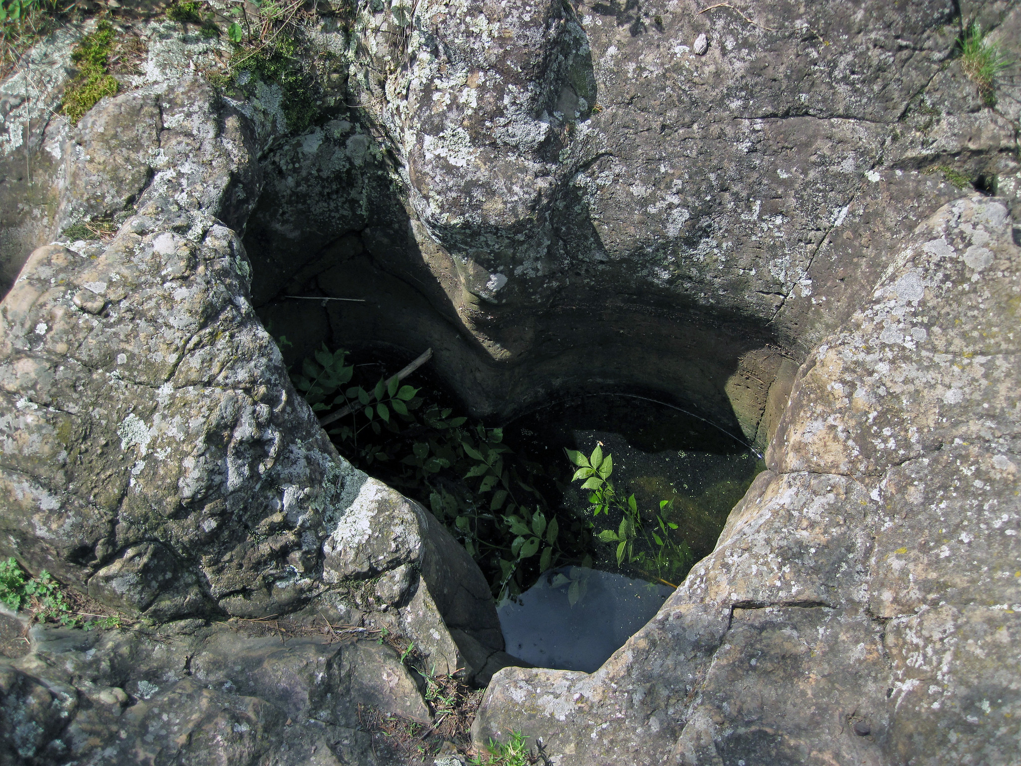
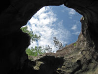
The large eroded depression in the basalt shown above is a pothole. This locality is Interstate State Park – it has some of the world’s largest examples of natural potholes. They formed by erosive action of the Glacial St. Croix River, which had a water level over 100 feet higher than the modern St. Croix River (www.flickr.com/photos/jsjgeology/18816043470). Near the end of the Pleistocene Ice Age, glacial meltwater from Glacial Lake Duluth (= ancestral Lake Superior) drained through this river valley. The torrent of water and sediments was conducive to erosive scour and the generation of many large potholes – more than 80 are present at this site.
These potholes were originally filled with siliciclastic sediments (boulders to clay), organic sediments (peat and muck), and water. Many of the potholes have been excavated by people.
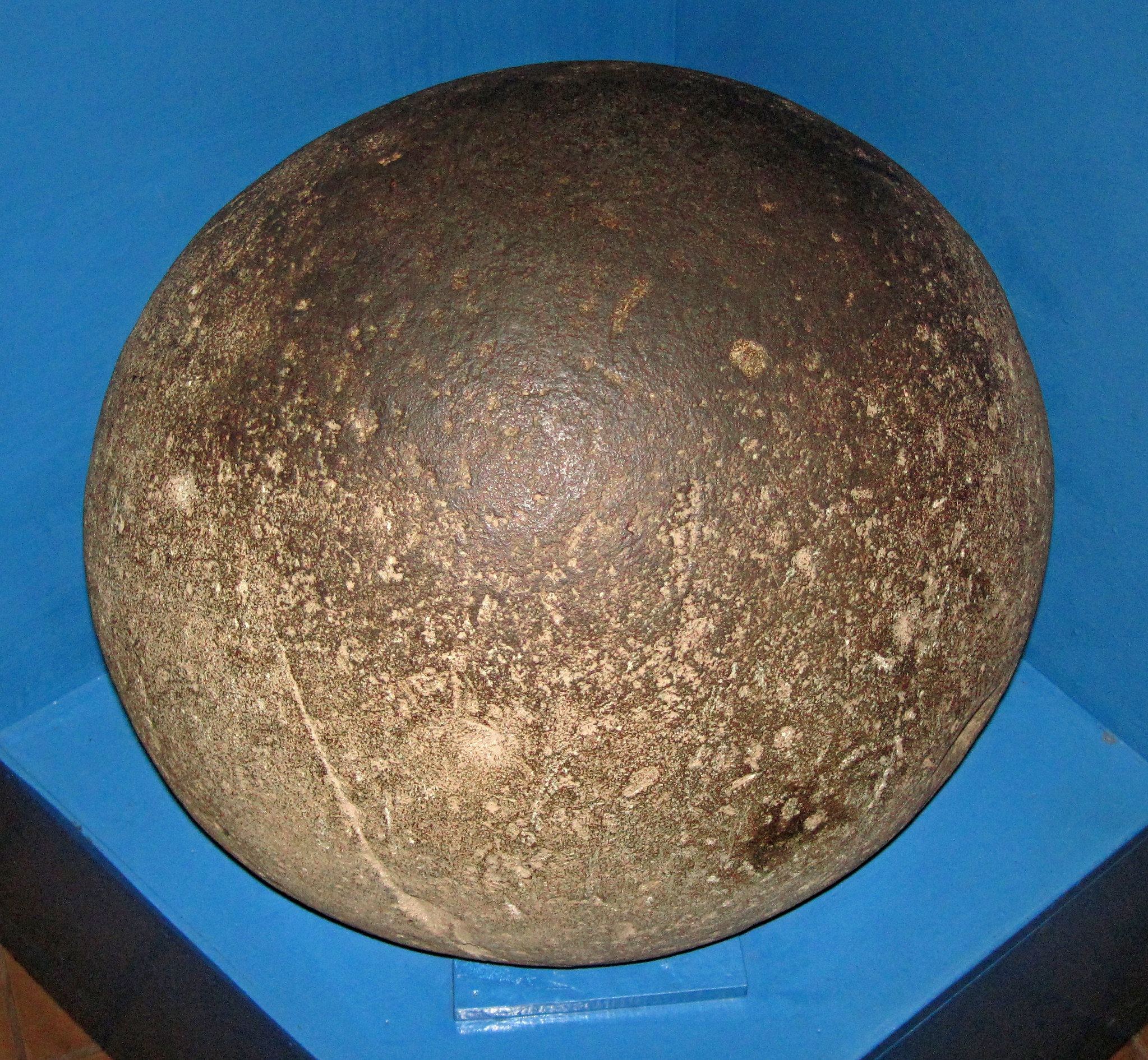
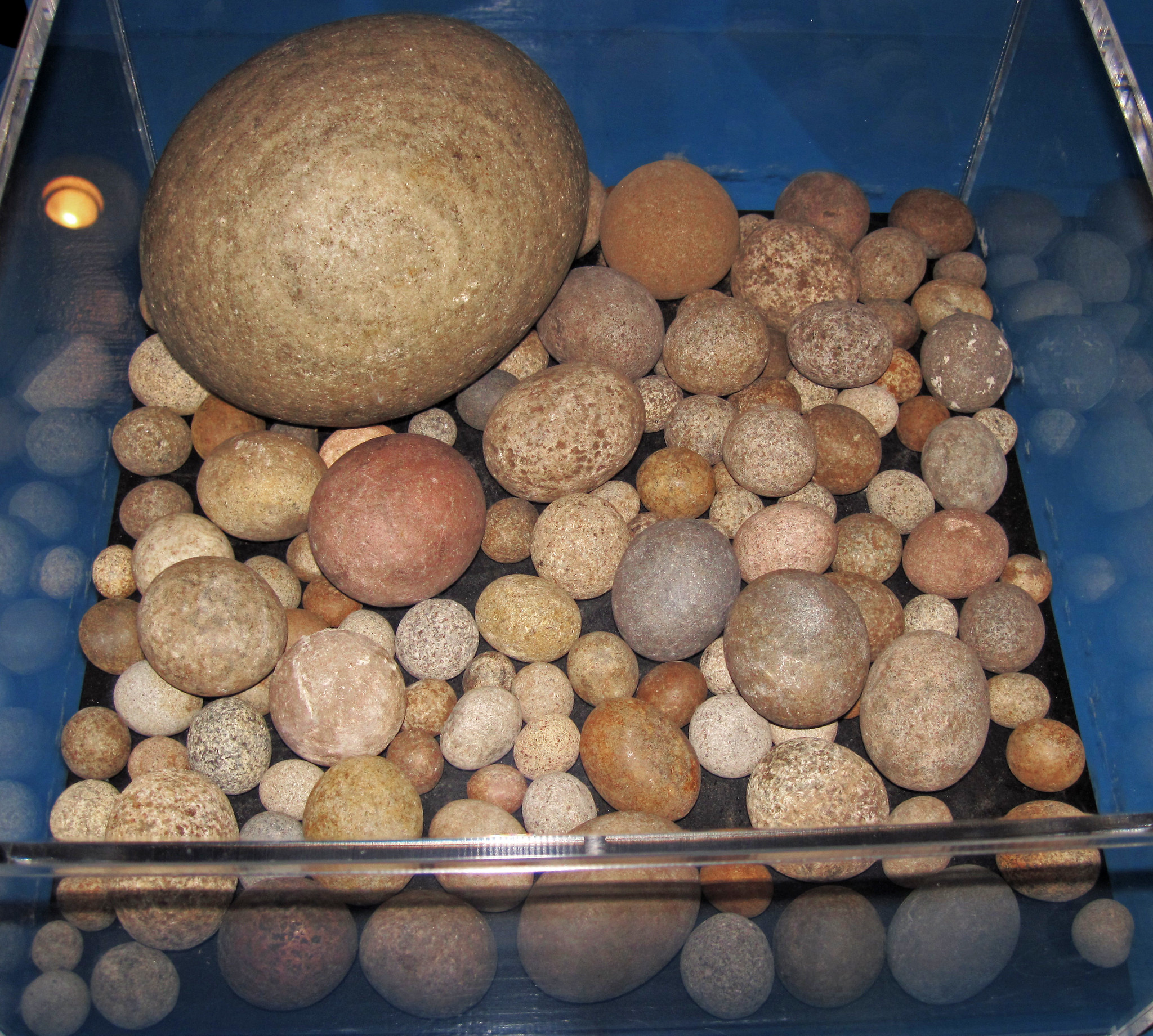
“More than 80 potholes are present in this area of the park (Glacial Gardens). The potholes range from decimeter depressions to giant “kettles” that are up to 20 meters deep and 6 meters in diameter. The potholes along the trail are 7.5 to 18 meters above the current river level; others have been found as much as 34 meters above river level. Today, many of the larger potholes are partly filled with silt, mud, peat, and grind stones. The potholes at this locality formed during a period of high discharge near the end of the Wisconsin glaciation. Lake levels in glacial Lake Duluth overflowed to the south through the Brule and St. Croix Rivers when ice dammed the Straits of Mackinac. The “Dalles of the St. Croix” mark a nickpoint where floodwaters flowed from basalt onto less resistant Cambrian sandstone and shale. Fast-moving currents and a steep gradient in this region likely contributed to the formation of the many potholes.”
– Boerboom et al. (2005)
References
Boerboom et al. (2005) – Field trip 10, the western margin of the Keweenawan Midcontinent Rift System: geologic highlights of Archean, Paleoproterozoic, Mesoproterozoic, and Paleozoic bedrock in eastern Minnesota and northwestern Wisconsin. Minnesota Geological Survey Guidebook 21: 181-207.
Runkel, A.C. & T.J. Boerboom. 2010. Geologic atlas of Chisago County, Minnesota, bedrock geology. County Atlas Series, Atlas C-22, Part A, Plate 2 – Bedrock Geology.
St. Croix 360 offers commenting to support productive discussion. We don’t allow name-calling, personal attacks, or misinformation. This discussion may be heavily moderated and we reserve the right to block nonconstructive comments. Please: Be kind, give others the benefit of the doubt, read the article closely, check your assumptions, and stay curious. Thank you!
“Opinion is really the lowest form of human knowledge. It requires no accountability, no understanding.” – Bill Bullard
One response to “Geology focus: Ancient basalt sculpted by glaciers at Interstate Park”
Michael shultz
thanks James St. John for the great article! Love the potholes! the link to northwestern doesn’t work. But I clicked on James St. John link and he’s got some great stuff on his website! I particularly liked the evolution vs creationism information. Great factual info! http://www.jsjgeology.net/Evolution-Creation.htm
Whoops! There was an error and we couldn't process your subscription. Please reload the page and try again.
By clicking subscribe, you agree to share your email address with St. Croix 360 and Mailchimp to receive emails from St. Croix 360. We will never share your information with anyone else.







Comment